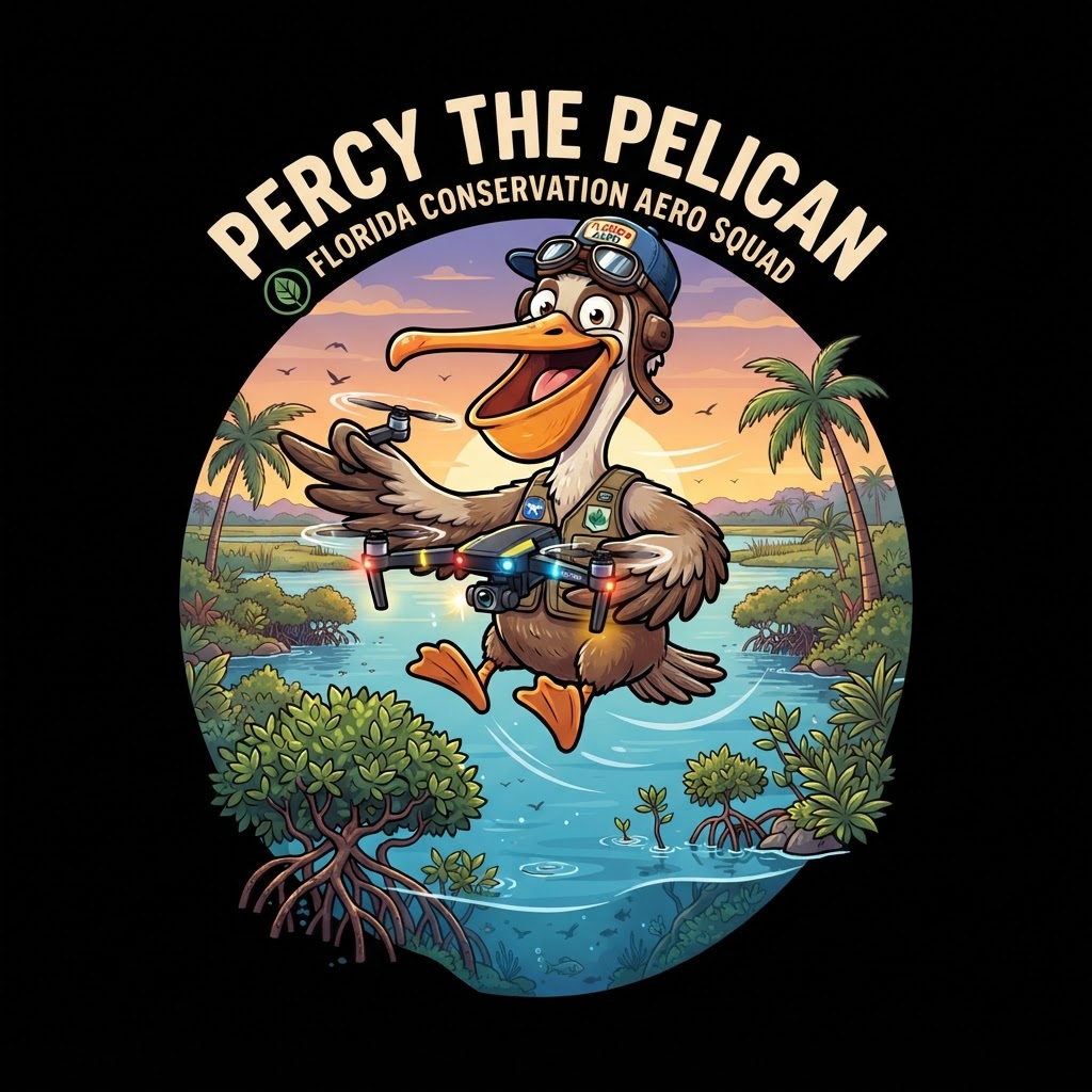
"I've flown over Florida my whole life using these incredible wings — but scientists have built something almost as impressive: drones, underwater robots, and satellite sensors that can survey entire ecosystems in hours. These technologies are transforming how we monitor, protect, and restore Florida's wild places. From counting nesting sea turtles at night to mapping invisible seagrass beds from space, technology has become one of conservation's most powerful tools. Let me show you how it works!"
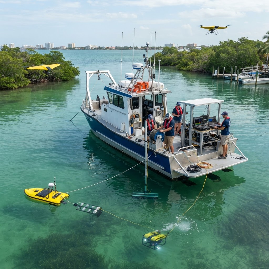
Drones & Robots — Technology Saving Florida's Ecosystems
Conservation technology has undergone a revolution in the past decade. What once required months of fieldwork by large teams of scientists can now be accomplished in days using unmanned aerial vehicles (UAVs — commonly called drones), remotely operated underwater vehicles (ROVs), satellite remote sensing, acoustic monitoring, and citizen science apps. Florida is at the forefront of applying these technologies because its ecosystems — spread across 1,350 miles of coastline, vast underwater seagrass meadows, remote offshore reefs, and vast inland wetlands — are simply too large and too complex to monitor using traditional methods alone. Florida FWC, NOAA, state universities, and conservation nonprofits now routinely use technology to track endangered species, assess habitat health, detect illegal fishing, monitor water quality in real time, and plan restoration projects. The data these technologies collect feeds into better management decisions that protect Florida's $87 billion outdoor recreation economy and the biodiversity that millions of people depend on.