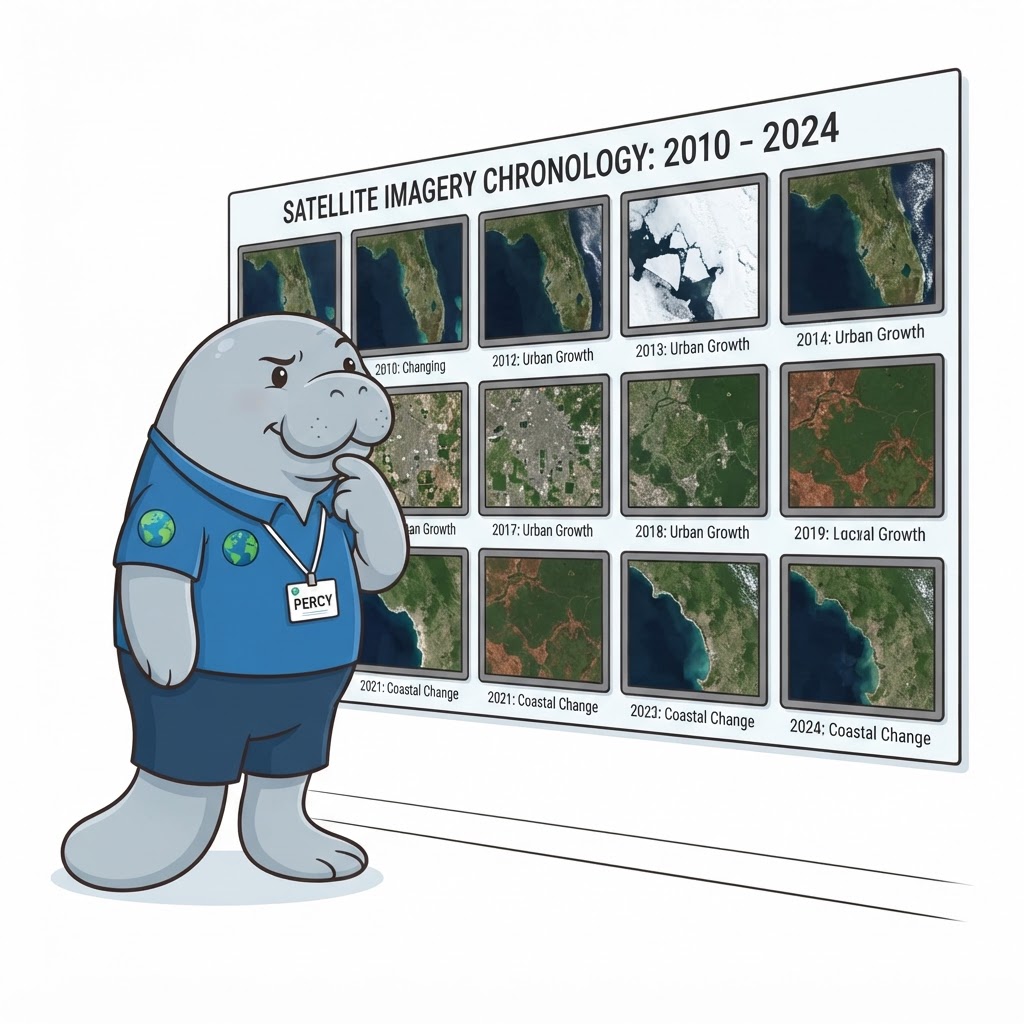
"A single satellite image is a snapshot. Stack years of them, and the slow story appears — seagrass retreating, shorelines eroding, water clearing. The long view is where the real trends live."
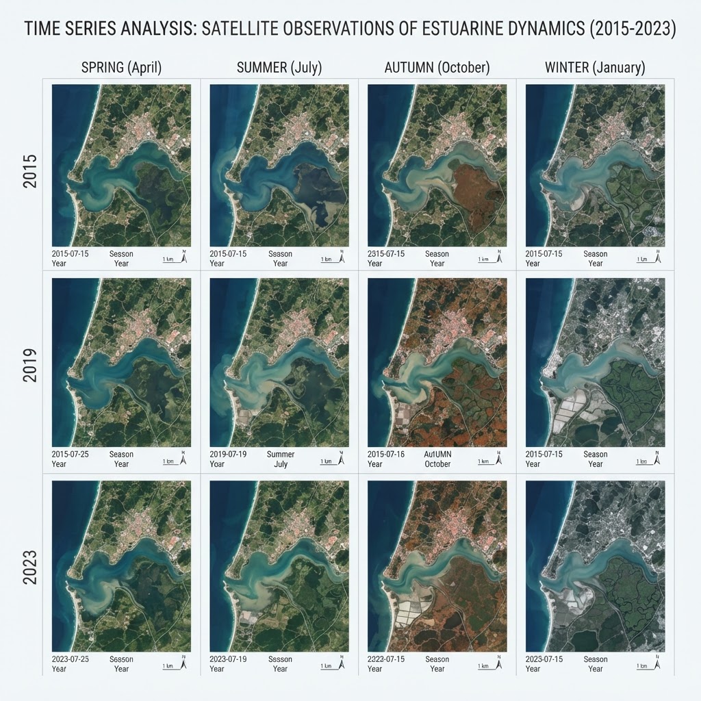
The Long View: Satellites See Change Across Years
Single images show condition; time series reveal trend. The defining strength of satellite remote sensing is the multi-decade archive: instruments have imaged the same coast at regular intervals for decades, producing a record long enough to separate real trends from year-to-year variability. Estuarine change — seagrass meadow contraction, mangrove encroachment, shoreline retreat, chronic turbidity shifts — often happens slowly enough that only a multi-year time series can detect it against noise. A single 'then vs now' comparison is vulnerable to the two dates chosen; a time series of many dates reveals whether change is consistent, accelerating, or reversing. The long view is therefore the scientifically defensible basis for trend statements, restoration effectiveness, and climate-change attribution. The Institute treats satellite time series as the backbone of long-term habitat and water-quality trend assessment, complemented by field and drone data for detail and ground-truth.