"A boat can sample one station a day. A satellite samples the whole lagoon in one pass, every few days, for decades. That scale changes what questions we can ask."
Why Monitor Water Quality From Orbit?
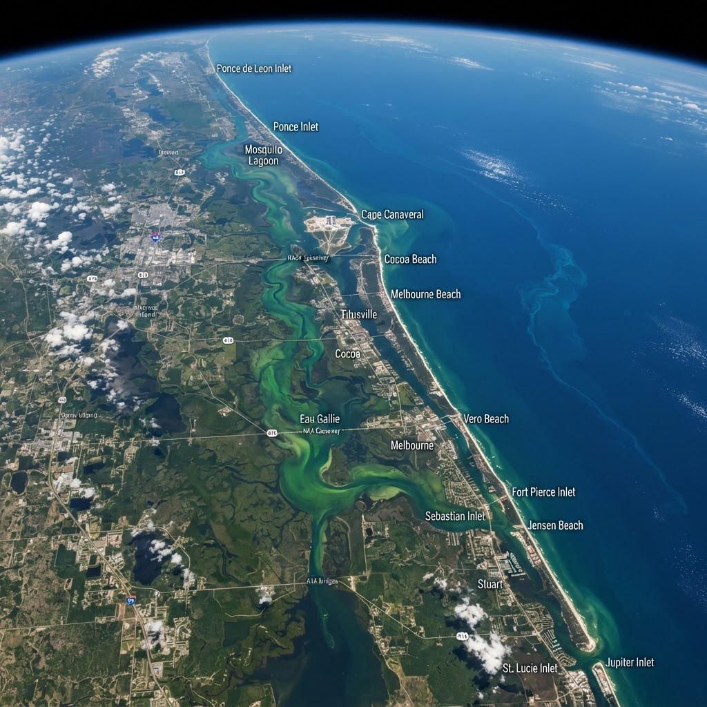
In-situ water-quality monitoring is spatially sparse and logistically expensive: a field crew can sample tens of stations per day. Satellite remote sensing provides synoptic (whole-scene at once), repeated, and retrospective coverage — the entire 156-mile Indian River Lagoon captured in a single overpass, repeated every 2–16 days depending on sensor, with archives stretching back to 1984 (Landsat). This enables questions in-situ data cannot answer: where is a bloom initiating, how far does a plume extend, how has clarity trended basin-wide over 30 years? Remote sensing complements, but does not replace, field sampling — field data calibrates and validates the satellite signal.