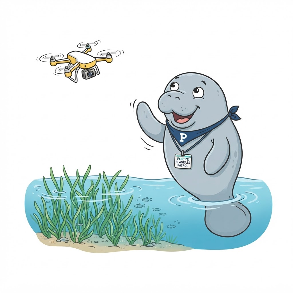
"Satellites are great but clouds get in the way and the pixels are coarse. Drones fly under the clouds, at the moment you choose, and capture the lagoon at centimeter detail — perfect for seagrass and shoreline change."
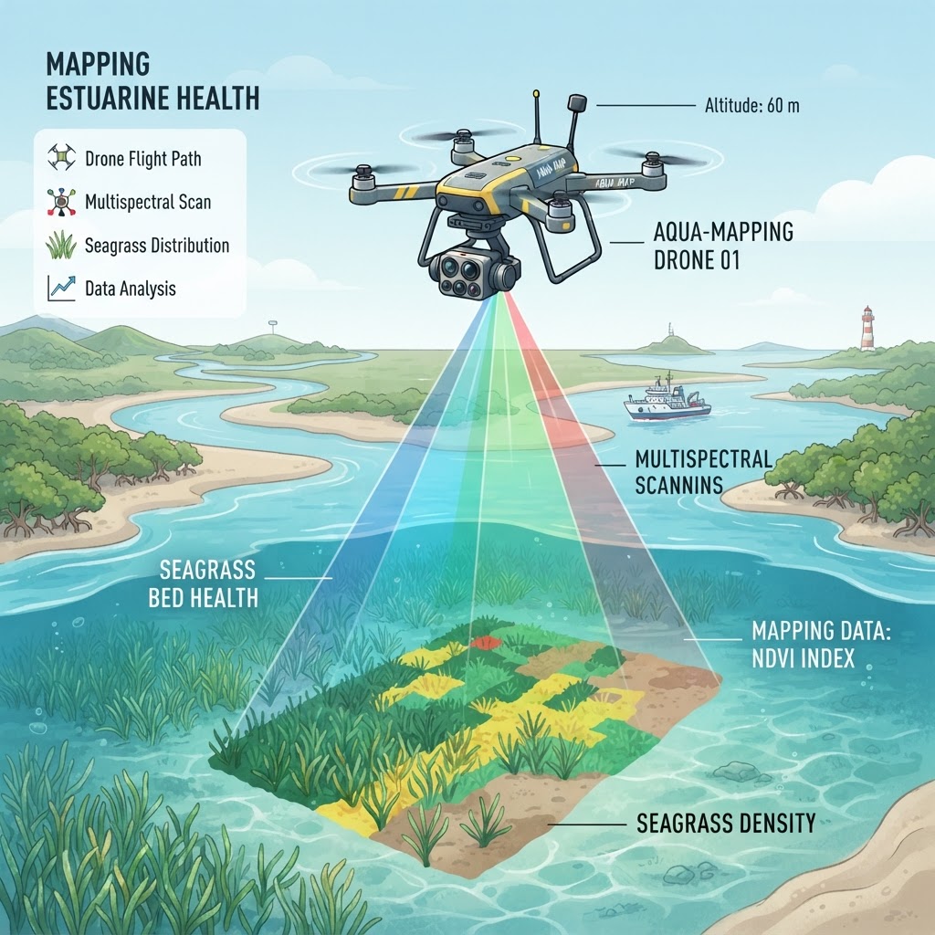
Why Drones? Close, Flexible, Repeatable Habitat Mapping
Unmanned aerial systems (drones) fill a critical gap in estuarine observation between field transects and satellites. Satellites offer wide, frequent coverage but are limited by cloud cover, coarse resolution (10–30 m pixels), and fixed revisit schedules. Field surveys are detailed but sparse and slow. Drones bridge the two: they fly below cloud cover, on the operator's schedule, at centimeter-level ground resolution, capturing habitat detail (individual seagrass patches, shoreline erosion, mangrove canopy) that no satellite can resolve. This resolution matters because the lagoon's habitats are patchy at scales satellites average away. A drone survey can map a full segment's seagrass in an afternoon at a resolution that supports percent-cover estimation from imagery, enabling repeat monitoring that satellites' cloud gaps and field transects' cost cannot match. Drones turn habitat mapping into a flexible, on-demand tool.